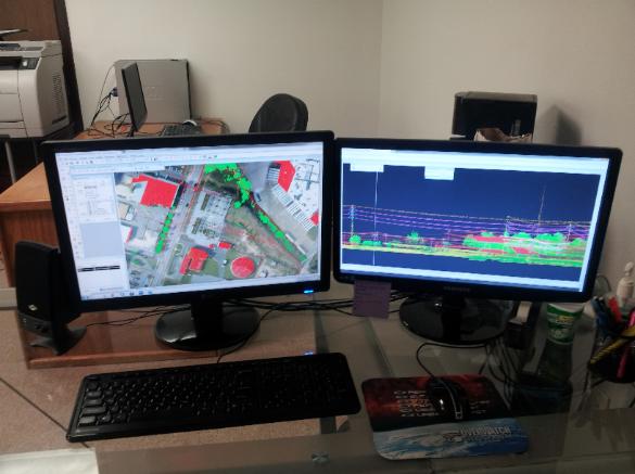
| Services We Provide Established in 2004, Spatial Data Solutions has developed to a full-service geospatial consulting and professional services firm with an industry reputation for delivering complex geospatial solutions to our government and commercial clients. SDS is dedicated to quality. We pay the strictest attention to details. For instance, our digital maps are subjected to four rigorous quality-control checks before they go out the door and we stand behind our work. We are dedicated to providing you with service that will bring you back again and again. We strongly believe that quality workmanship and impeccable client service are of the essence. |
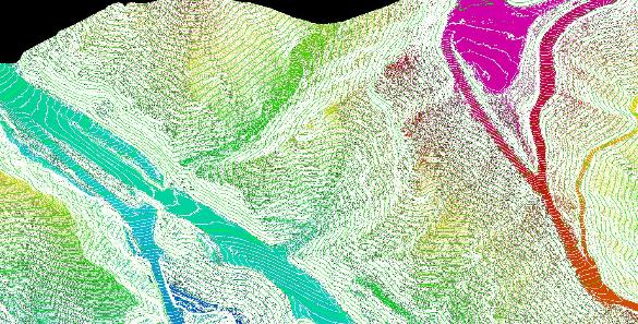
 | Topographic Mapping | |
| Digital Orthophotography | |
| GIS Consulting | |
| Remote Sensing | |
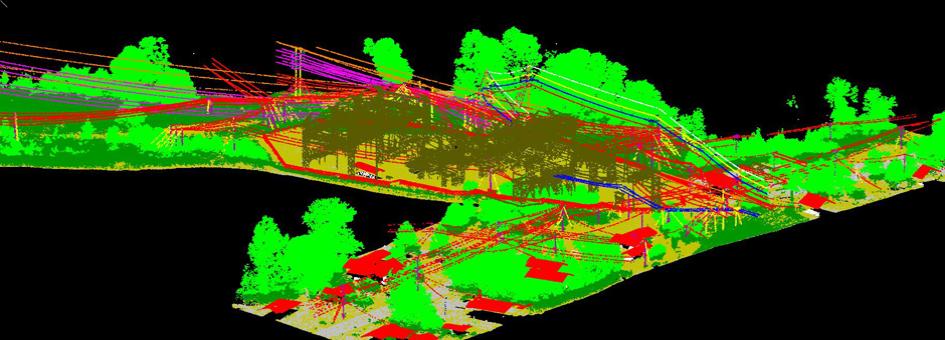
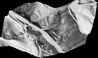
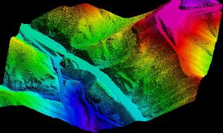
| LiDAR Acquisition and Processing | |
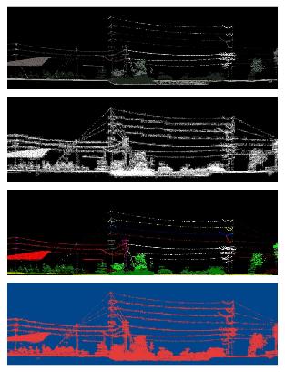
| Utility Mapping | |
| Flood Zone Mapping | |
| Project Management | |
| Agriculture and Forestry | |
| Quality Assurance and Quality Control | |
At SDS, we do not accept contracts that we cannot deliver. Client Satisfaction and
cost effective products that meet the most stringent requirements are the bases of
our reputation. This is why 80% of our projects come from repeat clients.
If you have a project that needs to be completed in no time, or you would like to
form an alliance with us , Please feel free to give us a call so we can discuss your
project needs or how we can help you accomplish your GIS goals.
SPATIAL DATA SOLUTIONS
Equipping Decision-Makers
Equipping Decision-Makers
| | | | | |


© 2004 - 2014 Spatial Data Solutions. All rights reserved